
7 Remarkable Indian Landscapes Formed by Rivers Over Thousands of Years

India's rivers have shaped far more than its towns, farms and civilisations. Over thousands of years, flowing water has carved deep gorges, deposited fertile soil, formed vast deltas and transformed dry landscapes into green valleys. Some of the country's most remarkable natural features, from the winding channels of the Brahmaputra to the dramatic ravines of the Chambal, are the result of this slow but powerful process.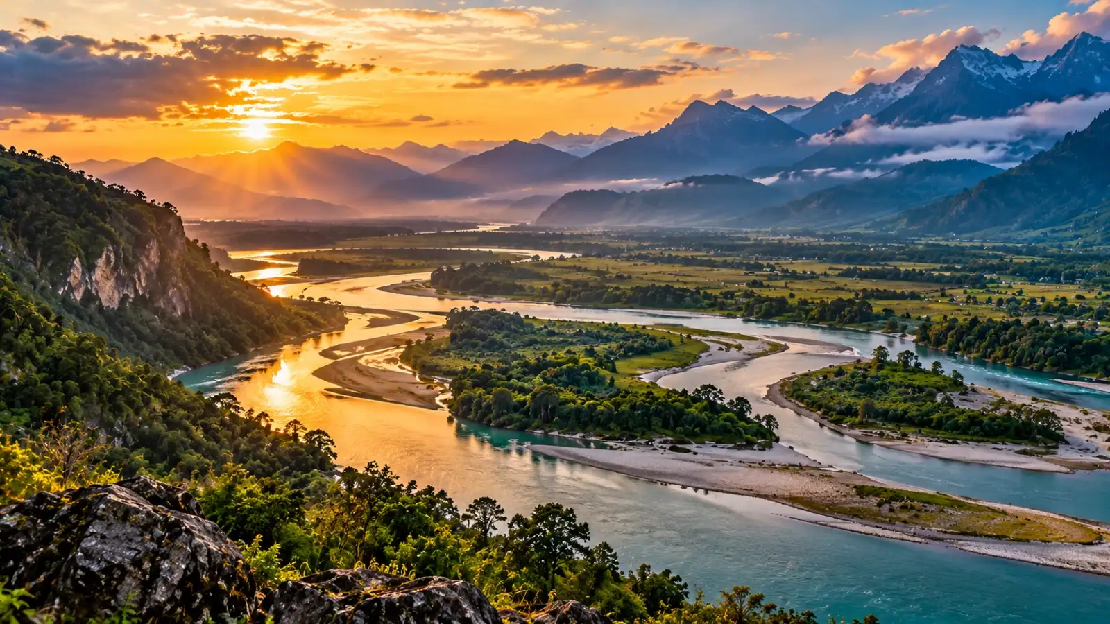
These landscapes continue to change today. Seasonal floods, sediment movement, erosion and shifting river channels constantly reshape the land, creating habitats for wildlife and influencing how people live. Understanding these river-made landscapes reveals a fascinating side of India's geography that often goes unnoticed.
As rivers flow down from the Himalayas, they transport sand, silt, clay and other materials eroded from mountain slopes. When their speed decreases across flatter terrain, some of this sediment settles on the riverbed and floodplains. Repeated episodes of deposition gradually build up layers of alluvium.
Floods have played an important role in this process, spreading fine sediments across low-lying areas. These deposits have helped create productive agricultural soils, supporting extensive farming and densely populated settlements.
However, the plains are not static. Rivers continue to erode their banks, change channels and deposit fresh sediment. The same processes that enrich the landscape can also threaten farmland and settlements during major floods.
These formations developed as running water gradually cut into relatively soft alluvial deposits. During heavy rainfall, water flows downhill, removes loose material and deepens small channels. Over time, these channels expand and join, creating a complex network of ravines.
The region's seasonal rainfall and long dry periods contribute to this process. Water can rapidly erode exposed or weakened soil, while the lack of continuous vegetation in some locations leaves the ground more vulnerable.
Although ravines can make farming difficult and contribute to land degradation, the landscape also provides specialised habitats. The wider Chambal ecosystem supports wildlife, including the critically endangered gharial, and is important for several river-dependent species.
The ravines show how rivers can create striking terrain through erosion rather than through the deposition of fertile soil.
During the monsoon, rising water levels can inundate parts of the valley. As the river spreads across its floodplain, it deposits sediment and erodes sections of its banks. Over time, channels can divide, merge or shift position.
The river's braided appearance in many stretches results from the interaction of sediment supply, water flow and the formation of temporary or semi-permanent islands and bars. Some of these landforms are repeatedly reshaped by floods.
Majuli, in Assam, is a well-known example of a large river island within the Brahmaputra system. Its landscape and extent have been affected by erosion, sedimentation and changing river channels.
These processes make the valley fertile and ecologically diverse, but they also create challenges for communities living near the river. Flooding and bank erosion can damage homes, roads and agricultural land.
A delta develops when a river enters a slower-moving body of water and deposits some of the sediment it carries. Over long periods, these deposits build up low-lying land that can be divided by channels and distributaries.
In the Sundarbans, river processes interact with tides, coastal currents, storms and changes in sea level. This makes the landscape particularly dynamic. Some areas accumulate sediment, while others experience erosion or become submerged.
Mangroves help stabilise parts of the shoreline by trapping sediment and reducing the force of waves. Their tangled roots also provide habitats for fish, crabs, birds and other wildlife.
The Sundarbans demonstrate how rivers and the sea work together to create landscapes that are constantly evolving. They also highlight the vulnerability of low-lying coastal regions to cyclones, salinity and rising sea levels.
Unlike a typical river valley formed only through erosion, a rift valley reflects the influence of geological faults and the movement of rock blocks. The Narmada subsequently shaped this terrain by cutting through rock, transporting sediment and modifying its valley floor.
Along its course, the river passes through varied landscapes, including rocky sections, forested hills and wider stretches of valley terrain. Near Bhedaghat in Madhya Pradesh, the Narmada flows through a striking marble gorge, where the river has cut into resistant rock.
The gorge's steep walls and changing rock formations reveal the interaction between geological structure and the erosive power of flowing water. The Narmada Valley is therefore an example of how river action and movements within the Earth's crust can work together to shape a landscape.
When a river emerges from mountainous terrain onto a flatter plain, its gradient decreases and its ability to carry sediment changes. Sediment may accumulate near the mountain front, and the river can spread across a wide area through multiple channels.
Over long periods, these processes help build fan-shaped deposits. Rivers can shift their courses across such landscapes, leaving behind old channels, raised sediment deposits and areas with different drainage patterns.
The Kosi is particularly known for its history of channel changes and flooding. Its large sediment load and the terrain of the northern Bihar plains contribute to the challenges of managing water and protecting settlements.
The landscape is a reminder that a river does not always remain within one permanent channel. Its path can shift over time, reshaping the surrounding plain.
Terraces can form when a river deposits sediment and later cuts more deeply into its valley. Changes in river flow, sediment supply, climate and the uplift of surrounding land can influence this process.
As the river lowers its channel, older deposits may remain as steps along the valley sides. Multiple terraces can preserve evidence of different stages in a river's history.
In the Himalayas, these landforms are especially interesting because rivers operate in a region affected by active tectonic processes, steep gradients and major variations in rainfall and snowmelt.
River terraces allow scientists to study how landscapes have evolved over time. They are physical records of the changing relationship between water, sediment, climate and the Earth's crust.
Human activities also influence these processes. Dams, embankments, sand extraction, deforestation and urban development can alter sediment movement and river behaviour. Climate change may further affect rainfall patterns, glacier melt, flooding and coastal conditions.
Understanding river-made landscapes is important for more than geography. It can help improve flood planning, protect wildlife habitats, guide infrastructure development and support the sustainable use of land and water.
These landscapes reveal the long relationship between flowing water, geological change and human settlement. They also remind us that rivers are dynamic systems rather than fixed lines on a map. Protecting them requires an understanding of how they move, how they transport sediment and how their natural processes support life.
These landscapes continue to change today. Seasonal floods, sediment movement, erosion and shifting river channels constantly reshape the land, creating habitats for wildlife and influencing how people live. Understanding these river-made landscapes reveals a fascinating side of India's geography that often goes unnoticed.
1. The Indo-Gangetic Plains : A Vast Landscape Built by Sediment
The Indo-Gangetic Plains are among the most extensive river-formed landscapes in the world. Stretching across northern India, these plains have developed through the accumulation of sediments carried by the Ganga, Yamuna, Indus system and their tributaries over long geological periods.As rivers flow down from the Himalayas, they transport sand, silt, clay and other materials eroded from mountain slopes. When their speed decreases across flatter terrain, some of this sediment settles on the riverbed and floodplains. Repeated episodes of deposition gradually build up layers of alluvium.
Floods have played an important role in this process, spreading fine sediments across low-lying areas. These deposits have helped create productive agricultural soils, supporting extensive farming and densely populated settlements.
However, the plains are not static. Rivers continue to erode their banks, change channels and deposit fresh sediment. The same processes that enrich the landscape can also threaten farmland and settlements during major floods.
2. The Chambal Ravines : A Landscape Carved by Erosion
The Chambal region of Madhya Pradesh, Rajasthan and Uttar Pradesh contains one of India's most distinctive erosion-shaped landscapes. Instead of smooth plains, parts of this region feature networks of narrow gullies, steep-sided ravines and irregular mounds.These formations developed as running water gradually cut into relatively soft alluvial deposits. During heavy rainfall, water flows downhill, removes loose material and deepens small channels. Over time, these channels expand and join, creating a complex network of ravines.
The region's seasonal rainfall and long dry periods contribute to this process. Water can rapidly erode exposed or weakened soil, while the lack of continuous vegetation in some locations leaves the ground more vulnerable.
Although ravines can make farming difficult and contribute to land degradation, the landscape also provides specialised habitats. The wider Chambal ecosystem supports wildlife, including the critically endangered gharial, and is important for several river-dependent species.
The ravines show how rivers can create striking terrain through erosion rather than through the deposition of fertile soil.
3. The Brahmaputra Valley : A River That Keeps Reshaping the Land
In Assam, the Brahmaputra creates a broad valley characterised by floodplains, wetlands, sandbars and shifting channels. It carries large quantities of water and sediment from the Himalayas and surrounding highlands.During the monsoon, rising water levels can inundate parts of the valley. As the river spreads across its floodplain, it deposits sediment and erodes sections of its banks. Over time, channels can divide, merge or shift position.
The river's braided appearance in many stretches results from the interaction of sediment supply, water flow and the formation of temporary or semi-permanent islands and bars. Some of these landforms are repeatedly reshaped by floods.
Majuli, in Assam, is a well-known example of a large river island within the Brahmaputra system. Its landscape and extent have been affected by erosion, sedimentation and changing river channels.
These processes make the valley fertile and ecologically diverse, but they also create challenges for communities living near the river. Flooding and bank erosion can damage homes, roads and agricultural land.
4. The Sundarbans: A Delta Built by the Ganga and Brahmaputra
At the eastern edge of the Indian subcontinent, the Ganga-Brahmaputra river system forms one of the world's largest delta regions. Its Indian portion includes the Sundarbans, a landscape of tidal waterways, muddy banks, islands and mangrove forests.A delta develops when a river enters a slower-moving body of water and deposits some of the sediment it carries. Over long periods, these deposits build up low-lying land that can be divided by channels and distributaries.
In the Sundarbans, river processes interact with tides, coastal currents, storms and changes in sea level. This makes the landscape particularly dynamic. Some areas accumulate sediment, while others experience erosion or become submerged.
Mangroves help stabilise parts of the shoreline by trapping sediment and reducing the force of waves. Their tangled roots also provide habitats for fish, crabs, birds and other wildlife.
The Sundarbans demonstrate how rivers and the sea work together to create landscapes that are constantly evolving. They also highlight the vulnerability of low-lying coastal regions to cyclones, salinity and rising sea levels.
5. The Narmada Valley: A River Flowing Through a Rift Valley
The Narmada follows a distinctive east-to-west course across central India before reaching the Arabian Sea. Much of its route lies within a geological structure known as a rift valley, which developed through movements in the Earth's crust.Unlike a typical river valley formed only through erosion, a rift valley reflects the influence of geological faults and the movement of rock blocks. The Narmada subsequently shaped this terrain by cutting through rock, transporting sediment and modifying its valley floor.
Along its course, the river passes through varied landscapes, including rocky sections, forested hills and wider stretches of valley terrain. Near Bhedaghat in Madhya Pradesh, the Narmada flows through a striking marble gorge, where the river has cut into resistant rock.
The gorge's steep walls and changing rock formations reveal the interaction between geological structure and the erosive power of flowing water. The Narmada Valley is therefore an example of how river action and movements within the Earth's crust can work together to shape a landscape.
6. The Kosi Megafan : How a River Builds a Huge Fan-Shaped Plain
The Kosi River, which descends from the Himalayas into the plains of Bihar, is associated with a broad depositional feature known as the Kosi megafan.When a river emerges from mountainous terrain onto a flatter plain, its gradient decreases and its ability to carry sediment changes. Sediment may accumulate near the mountain front, and the river can spread across a wide area through multiple channels.
Over long periods, these processes help build fan-shaped deposits. Rivers can shift their courses across such landscapes, leaving behind old channels, raised sediment deposits and areas with different drainage patterns.
The Kosi is particularly known for its history of channel changes and flooding. Its large sediment load and the terrain of the northern Bihar plains contribute to the challenges of managing water and protecting settlements.
The landscape is a reminder that a river does not always remain within one permanent channel. Its path can shift over time, reshaping the surrounding plain.
7. River Terraces in the Himalayas: Traces of Older Landscapes
In several Himalayan valleys, visitors can see relatively flat benches along the sides of rivers. These are known as river terraces and often represent former valley floors or floodplains that now sit above the present river.Terraces can form when a river deposits sediment and later cuts more deeply into its valley. Changes in river flow, sediment supply, climate and the uplift of surrounding land can influence this process.
As the river lowers its channel, older deposits may remain as steps along the valley sides. Multiple terraces can preserve evidence of different stages in a river's history.
In the Himalayas, these landforms are especially interesting because rivers operate in a region affected by active tectonic processes, steep gradients and major variations in rainfall and snowmelt.
River terraces allow scientists to study how landscapes have evolved over time. They are physical records of the changing relationship between water, sediment, climate and the Earth's crust.
How Rivers Continue to Shape India's Landscapes
River landscapes are not finished products. They are constantly being modified by erosion, deposition, floods and changes in water flow.Human activities also influence these processes. Dams, embankments, sand extraction, deforestation and urban development can alter sediment movement and river behaviour. Climate change may further affect rainfall patterns, glacier melt, flooding and coastal conditions.
Understanding river-made landscapes is important for more than geography. It can help improve flood planning, protect wildlife habitats, guide infrastructure development and support the sustainable use of land and water.
Why India's River Landscapes Are Worth Understanding
From the fertile Indo-Gangetic Plains to the rugged Chambal ravines and the tidal channels of the Sundarbans, India's rivers have created an extraordinary variety of landforms. Some have built broad plains through sediment deposition, while others have carved valleys and gorges through erosion. In many places, both processes operate together.These landscapes reveal the long relationship between flowing water, geological change and human settlement. They also remind us that rivers are dynamic systems rather than fixed lines on a map. Protecting them requires an understanding of how they move, how they transport sediment and how their natural processes support life.
Next Story