
How GPS Locates Your Phone Using Satellites 20,000 km Away

Your phone knows where you are right now, probably within a few metres. The satellites making that possible are not hovering overhead, they are moving at roughly 14,000 kilometres per hour in orbits about 20,200 kilometres above the surface. That distance is more than fifty times the cruising altitude of a passenger jet. The fact that your phone can use signals from objects that far away to fix your position on a street map is one of the quieter engineering achievements built into everyday life.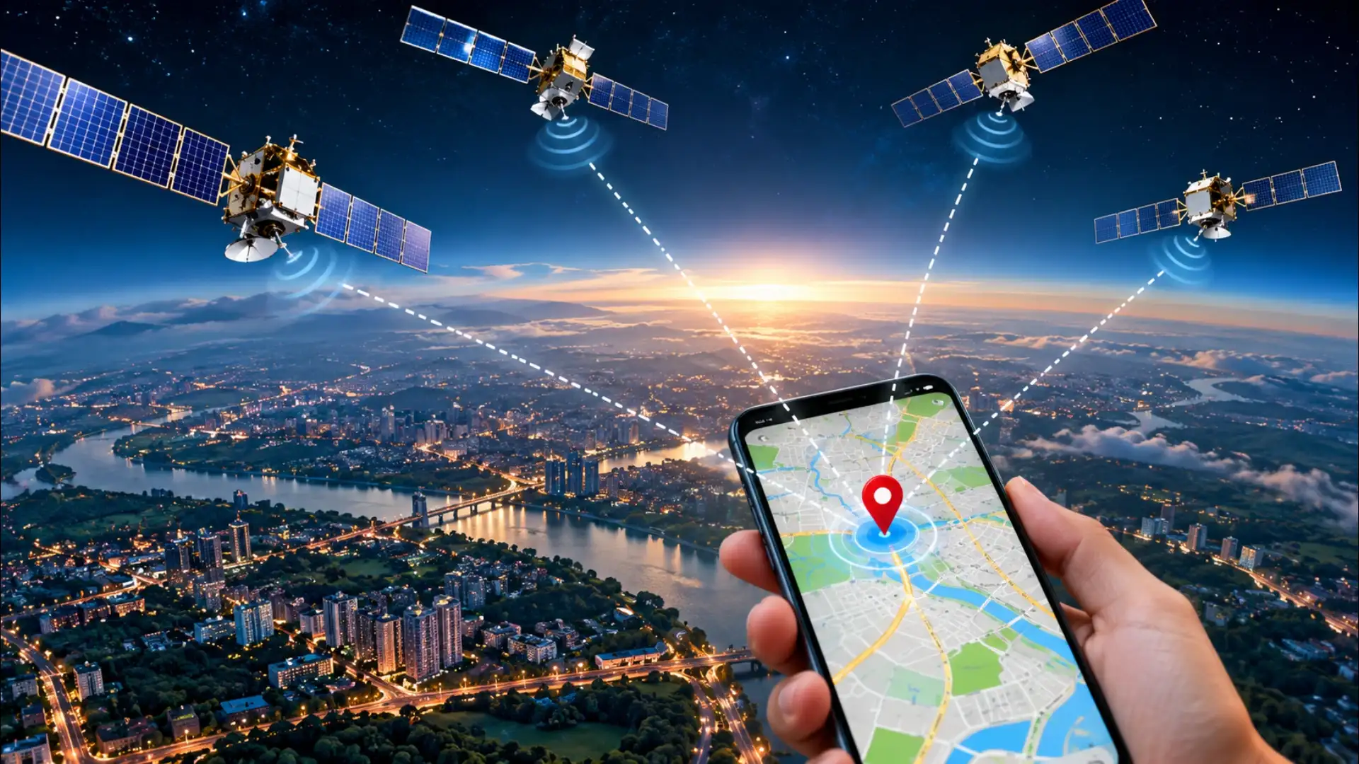
The satellites, the atomic clocks, the speed-of-light arithmetic, and the four-satellite clock correction are all doing their work in the background every time a map app draws a blue dot over your street. The phone does not know where it is because someone told it. It knows because it solved an equation involving light-travel time across twenty thousand kilometres of empty space, and it did it fast enough to keep up with you walking.
A Clock Problem, Not a Radio Problem
GPS works by measuring time, not by receiving a location broadcast. Each satellite carries an atomic clock and continuously transmits a signal that includes two things: the satellite's precise position at the moment of transmission, and the exact time that transmission left the satellite. Your phone receives that signal and compares the arrival time to its own clock. The gap between when the signal was sent and when it arrived, multiplied by the speed of light, gives the distance between your phone and that satellite. That distance is called a pseudorange, pseudo because your phone's clock is nowhere near as accurate as the atomic clocks on the satellites, which introduces a small error that has to be corrected for.Why Four Satellites and Not One
A single distance measurement tells you only that you are somewhere on an enormous sphere around that satellite. A second satellite narrows it to a circle where two spheres intersect. A third narrows it to two points, one of which is usually in space and can be discarded. Three satellites should be enough, but the clock error in your phone means the three spheres do not intersect cleanly at one point. They form a small triangle of error. The fourth satellite is used to solve for that clock offset mathematically, collapsing the triangle to a single point. Four satellites give your receiver three dimensions of position plus a corrected time. That corrected time is accurate enough that GPS receivers are used as timing references for mobile networks and financial systems, not just navigation.The Signal Itself
GPS satellites broadcast on radio frequencies in the L-band, around 1.2 to 1.6 gigahertz. These frequencies pass through clouds and light rain without much loss, which is why GPS works on an overcast day. What blocks the signal is solid material: a building, a canyon wall, a dense canopy of trees, or your own body when the phone is in a pocket facing the ground. In cities with tall buildings on both sides of a street, signals bounce off facades before reaching your phone. The receiver picks up both the direct signal and the reflected copy, which arrives a fraction later. This multipath error is one reason GPS in a dense urban canyon can be off by tens of metres even when the sky is technically clear.What Your Phone Actually Does With the Signal
A standalone GPS chip does all the geometry described above on its own, but it takes time, sometimes a minute or more when the chip has been off for a long time and has to download fresh satellite position data, called ephemeris data, from the signal itself. This is the cold start delay you sometimes notice when GPS seems slow to lock. Modern phones shortcut this using Assisted GPS, or A-GPS. The phone downloads current satellite positions and timing data over Wi-Fi or a mobile connection in seconds, so the chip already knows where to look when it starts listening. The geometry calculation still happens on the device; the assistance just eliminates the wait for ephemeris data. This is also why your phone can show an approximate location almost instantly using cell towers and Wi-Fi positioning, then snap to GPS precision once the chip has its lock.The Constellation Behind the Signal
The United States operates the original GPS constellation, formally called NAVSTAR, with at least 24 operational satellites arranged so that any point on Earth can see at least four of them at any time. Russia operates GLONASS on a similar principle. The European Union runs Galileo, and India has its own regional system called NavIC, designed to give better coverage over the subcontinent and surrounding waters. Most current phone chips receive signals from two or more of these constellations simultaneously. More satellites in view means more measurements, which means better accuracy and faster locks, particularly useful when buildings or terrain block some of the sky.The satellites, the atomic clocks, the speed-of-light arithmetic, and the four-satellite clock correction are all doing their work in the background every time a map app draws a blue dot over your street. The phone does not know where it is because someone told it. It knows because it solved an equation involving light-travel time across twenty thousand kilometres of empty space, and it did it fast enough to keep up with you walking.
Next Story