
GPS on the Moon: Spanish Firm Unveils Revolutionary Lunar Navigation System

Spain-based technology firm GMV has introduced an innovative lunar navigation system designed to transform how astronauts and rovers find their way on the moon. Dubbed LUPIN , the project aims to bring intuitive, real-time positioning to the lunar surface—making navigating the moon as seamless as using Google Maps or Waze on Earth.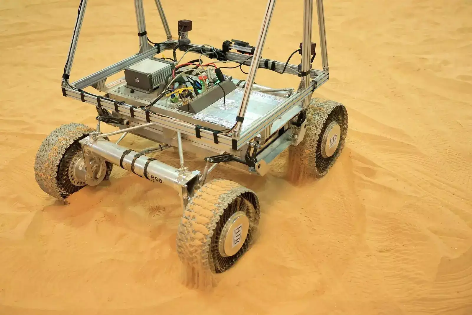
The system is part of the European Space Agency’s (ESA) broader program to explore cutting-edge positioning, navigation, and timing (PNT) technologies. With renewed global interest in lunar expeditions—ranging from scientific exploration and mining prospects to eventual tourism—LUPIN’s arrival is timely.
"With this software, we bring Europe closer to establishing a presence of humans on the moon and, potentially, this would be a stepping stone towards Mars exploration or human presence on Mars,"
— Steven Kay, Project Director
Simulating the Moon on Earth
To test the functionality of LUPIN, GMV conducted field trials on the volcanic terrain of Fuerteventura, one of Spain’s Canary Islands. The area's lunar-like landscape allowed researchers to simulate how the system might perform in an actual moon environment.
The LUPIN system utilizes signals akin to Earth’s GPS, but from satellites orbiting the moon. This breakthrough will enable astronauts and robotic rovers to determine their position on the lunar surface in real time.
Current Lunar Navigation Is Still Primitive
Navigating on the moon today remains a daunting task. Rovers and astronauts depend on data relayed from Earth through painstaking calculations—processes that are neither fast nor sufficiently precise.
"Communication depends on direct visibility with Earth or the use of relay satellites in lunar orbit, which create communicative shadow zones and latency times that hinder immediate decision-making,"
— GMV statement
The challenges are compounded by the moon’s ever-changing surface, shaped by dust shifts and meteorite impacts. These changes can make maps obsolete quickly and create serious hazards for navigation.
LUPIN Aims to Make Lunar Exploration Safer and Smarter
By merging existing lunar maps with new data from orbiting satellites, LUPIN will help create up-to-date terrain models. The goal is to support navigation in high-risk zones such as the lunar south pole and the far side of the moon, areas typically veiled in shadow and difficult to access.
"We want these rovers to map the surface of the moon in a fast and safe way so that astronauts can return in a few years, work there and set up permanent bases,"
— Mariella Graziano, GMV's Head of Strategy
As space agencies and private firms gear up for a new era of lunar exploration, GMV’s LUPIN system represents a significant leap toward a human presence on the moon—and perhaps one day, Mars.
The system is part of the European Space Agency’s (ESA) broader program to explore cutting-edge positioning, navigation, and timing (PNT) technologies. With renewed global interest in lunar expeditions—ranging from scientific exploration and mining prospects to eventual tourism—LUPIN’s arrival is timely.
"With this software, we bring Europe closer to establishing a presence of humans on the moon and, potentially, this would be a stepping stone towards Mars exploration or human presence on Mars,"
— Steven Kay, Project Director
Simulating the Moon on Earth
To test the functionality of LUPIN, GMV conducted field trials on the volcanic terrain of Fuerteventura, one of Spain’s Canary Islands. The area's lunar-like landscape allowed researchers to simulate how the system might perform in an actual moon environment. The LUPIN system utilizes signals akin to Earth’s GPS, but from satellites orbiting the moon. This breakthrough will enable astronauts and robotic rovers to determine their position on the lunar surface in real time.
Current Lunar Navigation Is Still Primitive
Navigating on the moon today remains a daunting task. Rovers and astronauts depend on data relayed from Earth through painstaking calculations—processes that are neither fast nor sufficiently precise. "Communication depends on direct visibility with Earth or the use of relay satellites in lunar orbit, which create communicative shadow zones and latency times that hinder immediate decision-making,"
— GMV statement
The challenges are compounded by the moon’s ever-changing surface, shaped by dust shifts and meteorite impacts. These changes can make maps obsolete quickly and create serious hazards for navigation.
LUPIN Aims to Make Lunar Exploration Safer and Smarter
By merging existing lunar maps with new data from orbiting satellites, LUPIN will help create up-to-date terrain models. The goal is to support navigation in high-risk zones such as the lunar south pole and the far side of the moon, areas typically veiled in shadow and difficult to access."We want these rovers to map the surface of the moon in a fast and safe way so that astronauts can return in a few years, work there and set up permanent bases,"
— Mariella Graziano, GMV's Head of Strategy
As space agencies and private firms gear up for a new era of lunar exploration, GMV’s LUPIN system represents a significant leap toward a human presence on the moon—and perhaps one day, Mars.
Next Story