
How Seven Islands Were Joined to Make Mumbai

Mumbai, one of India's busiest metropolitan cities, was not always the vast stretch of land we see today. The story of how seven islands were joined to make Mumbai is a fascinating journey of engineering, land reclamation and centuries of transformation. Much of present-day South Mumbai was once separated by tidal flats, mangrove creeks and open water. Over nearly 200 years, these islands were gradually connected under different ruling powers, turning a scattered group of islands into the thriving city we know today.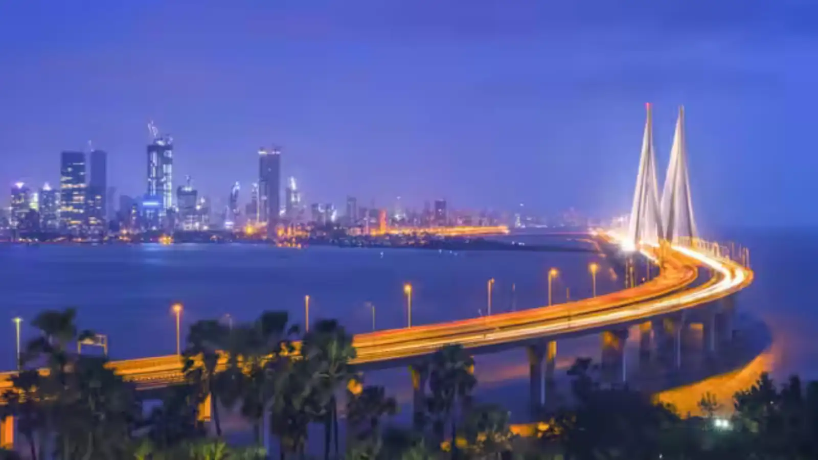
Colaba and Little Colaba formed the southern tip. Between all of them lay shallow, brackish water that flooded twice a day and drained twice a day, leaving behind mudflats that bred mosquitoes and made movement between the islands dependent on boats and tides.
The Portuguese, who held the islands from the mid-sixteenth century, understood that the geography was a problem. They built causeways between some of the smaller islands and began limited reclamation, but the scale of what was needed was beyond their ambition or their resources. When they transferred the islands to the English Crown as part of Catherine of Braganza's dowry in 1661, the new owners inherited both the potential and the problem.
The change came in 1784, when William Hornby, the Governor of Bombay, ordered the construction of a great embankment across the Worli creek, the wide tidal channel that separated the northern islands from the southern cluster. Engineers and labourers built a stone and earth bund stretching roughly a kilometre across the mouth of the creek.
The Company's directors in London opposed it as an extravagance. Hornby built it anyway, and was recalled for his insubordination. The structure he left behind, known ever since as the Hornby Vellard, vellard being the Portuguese word for embankment, permanently closed off the tidal inlet. The land that had flooded twice a day began to dry. The islands began, slowly, to become one.
Between the Vellard and the Causeway, the reclamation accelerated. Sand, rock, and rubble were used to fill the shallow bays between Mazagaon, Parel, and the central island. The Back Bay, the wide inlet on the western side, was partially reclaimed in the nineteenth century, creating the land on which Marine Drive and the Oval Maidan now stand. The work was not continuous or planned from a single blueprint. It happened in phases, driven by the need for more dockyard space, more residential land, more railway yards. Each phase pushed the shoreline a little further west or north, and each phase buried a little more of the old inter-island water.
The slight ridge that runs through Malabar Hill follows the spine of one of the original islands. The low-lying land around Dharavi, prone to flooding even now, sits on what was once tidal creek and reclaimed mudflat. Byculla's old name derives from a corruption of a Marathi phrase for the tidal creek that once ran through it.
The streets of South Mumbai do not follow a grid because no one planned them that way from the start. They follow the edges of what were once shorelines, the alignments of old causeways, and the natural high ground of the original island spines. Walk from Colaba to Bandra in a straight line and you cross, without knowing it, the ghost boundaries of at least four of the original seven islands.
Mumbai did not grow outward from a single centre. It grew inward, from seven edges toward a middle that had once been sea. That middle is now the city's densest, oldest, most layered core, built on filled water, shaped by tides that stopped flowing two centuries ago.
The Seven Islands and What Lay Between Them
The original islands were Colaba, Little Colaba, Mahim, Mazagaon, Parel, Worli, and the island that carried the old Portuguese name Bom Bahia, Good Bay. They were not equally sized, not equally elevated, and not equally useful. Mahim and Worli sat at the northern ends, separated from each other by a wide tidal strait.Colaba and Little Colaba formed the southern tip. Between all of them lay shallow, brackish water that flooded twice a day and drained twice a day, leaving behind mudflats that bred mosquitoes and made movement between the islands dependent on boats and tides.
The Portuguese, who held the islands from the mid-sixteenth century, understood that the geography was a problem. They built causeways between some of the smaller islands and began limited reclamation, but the scale of what was needed was beyond their ambition or their resources. When they transferred the islands to the English Crown as part of Catherine of Braganza's dowry in 1661, the new owners inherited both the potential and the problem.
The Hornby Vellard: The Hinge of the Whole Project
The English East India Company leased the islands from the Crown for ten pounds a year and set about making them useful. For nearly a century, progress was slow. The islands remained separate, the population was small, and the tidal flooding made large parts of the land uninhabitable for much of the year.The change came in 1784, when William Hornby, the Governor of Bombay, ordered the construction of a great embankment across the Worli creek, the wide tidal channel that separated the northern islands from the southern cluster. Engineers and labourers built a stone and earth bund stretching roughly a kilometre across the mouth of the creek.
The Company's directors in London opposed it as an extravagance. Hornby built it anyway, and was recalled for his insubordination. The structure he left behind, known ever since as the Hornby Vellard, vellard being the Portuguese word for embankment, permanently closed off the tidal inlet. The land that had flooded twice a day began to dry. The islands began, slowly, to become one.
Filling the Gaps: Mahim Causeway and the Great Reclamations
The Hornby Vellard joined the central and southern islands. The north still stood apart. In 1845, the Mahim Causeway was completed, connecting the island cluster to the mainland at Mahim and Bandra. It was built partly on rock, partly on reclaimed land, and it carried the road that today still runs along the same alignment.Between the Vellard and the Causeway, the reclamation accelerated. Sand, rock, and rubble were used to fill the shallow bays between Mazagaon, Parel, and the central island. The Back Bay, the wide inlet on the western side, was partially reclaimed in the nineteenth century, creating the land on which Marine Drive and the Oval Maidan now stand. The work was not continuous or planned from a single blueprint. It happened in phases, driven by the need for more dockyard space, more residential land, more railway yards. Each phase pushed the shoreline a little further west or north, and each phase buried a little more of the old inter-island water.
What the Reclamation Left Behind in the City's Shape
The geography of the seven islands did not disappear when the water was filled in. It survived in the city's contours and its place names. Mahim, Mazagaon, Parel, and Worli remain distinct neighbourhoods with their own characters, because they were once distinct places separated by water.The slight ridge that runs through Malabar Hill follows the spine of one of the original islands. The low-lying land around Dharavi, prone to flooding even now, sits on what was once tidal creek and reclaimed mudflat. Byculla's old name derives from a corruption of a Marathi phrase for the tidal creek that once ran through it.
The streets of South Mumbai do not follow a grid because no one planned them that way from the start. They follow the edges of what were once shorelines, the alignments of old causeways, and the natural high ground of the original island spines. Walk from Colaba to Bandra in a straight line and you cross, without knowing it, the ghost boundaries of at least four of the original seven islands.
Mumbai did not grow outward from a single centre. It grew inward, from seven edges toward a middle that had once been sea. That middle is now the city's densest, oldest, most layered core, built on filled water, shaped by tides that stopped flowing two centuries ago.