Heavy Rain and Thunderstorms Lash NCR Region; IMD Issues Alert
Delhi and the National Capital Region (NCR) are likely to witness a sudden weather shift in the coming days, with the India Meteorological Department (IMD) forecasting light to moderate rainfall along with thunderstorms. The weather department has also warned of strong winds reaching up to 80 kmph in some areas, bringing relief from rising temperatures but creating challenges for commuters.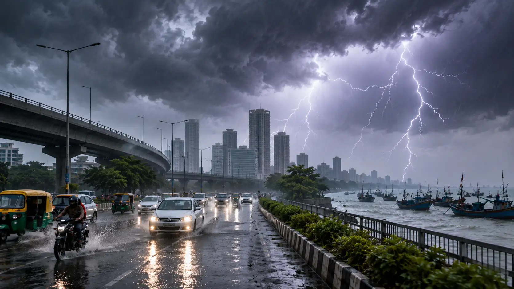
He further said the activity is likely to continue for the next two days, although its intensity will reduce gradually. "Since there is still moisture in the air, temperatures are not expected to rise significantly during this period. After that, temperatures are likely to start increasing again," he said.
The IMD has predicted wind speeds of around 60 to 70 kmph, which may increase up to 80 kmph at some places. The combination of rain and strong winds could lead to waterlogging, slippery roads and traffic disruptions in several areas.
Authorities have advised people to avoid standing in open areas during thunderstorms. Residents have also been asked to stay away from electric poles and trees during strong winds to reduce risks.
The weather system is expected to bring rainfall and thunderstorms across several parts of Haryana and nearby regions.
Marine tourism can be impacted as the Indian Meteorological Department advises fishermen against venturing into the Arabian Sea and the Bay of Bengal sectors up to June 20, because of squally weather and high wind speeds. Those providing boat rides and related marine tours may temporarily suspend operations according to local guidelines. Heavy rain can bring about water logging, traffic problems and visibility issues. Travellers are advised to check local weather situations before heading out.
Cyclonic Circulation Keeps Delhi-NCR Weather Pleasant
“There was a cyclonic circulation over Punjab, Haryana and nearby areas, which led to rain over Delhi. Moisture-laden southwesterly winds from the Arabian Sea also helped in the development of this weather activity. Because of the moisture and the cyclonic circulation, parts of Punjab, Haryana and Delhi received rain” a weather expert said.He further said the activity is likely to continue for the next two days, although its intensity will reduce gradually. "Since there is still moisture in the air, temperatures are not expected to rise significantly during this period. After that, temperatures are likely to start increasing again," he said.
Thunderstorms and gusty wind expected in Delhi-NCR
For today, the weather office has forecast thunderstorms with rain, with minimum and maximum temperatures expected to be around 27 and 38 degrees Celsius, respectively.The IMD has predicted wind speeds of around 60 to 70 kmph, which may increase up to 80 kmph at some places. The combination of rain and strong winds could lead to waterlogging, slippery roads and traffic disruptions in several areas.
Authorities have advised people to avoid standing in open areas during thunderstorms. Residents have also been asked to stay away from electric poles and trees during strong winds to reduce risks.
The weather system is expected to bring rainfall and thunderstorms across several parts of Haryana and nearby regions.
Marine tourism can be impacted as the Indian Meteorological Department advises fishermen against venturing into the Arabian Sea and the Bay of Bengal sectors up to June 20, because of squally weather and high wind speeds. Those providing boat rides and related marine tours may temporarily suspend operations according to local guidelines. Heavy rain can bring about water logging, traffic problems and visibility issues. Travellers are advised to check local weather situations before heading out.
Next Story