
Why Istanbul Is the Only City Spread Across Two Continents

The Bosphorus Strait does not look like a continental divide. At its narrowest point, it is roughly 700 metres wide, a distance a strong swimmer could attempt. Yet this ribbon of water is where Europe ends and Asia begins, and Istanbul sits on both banks.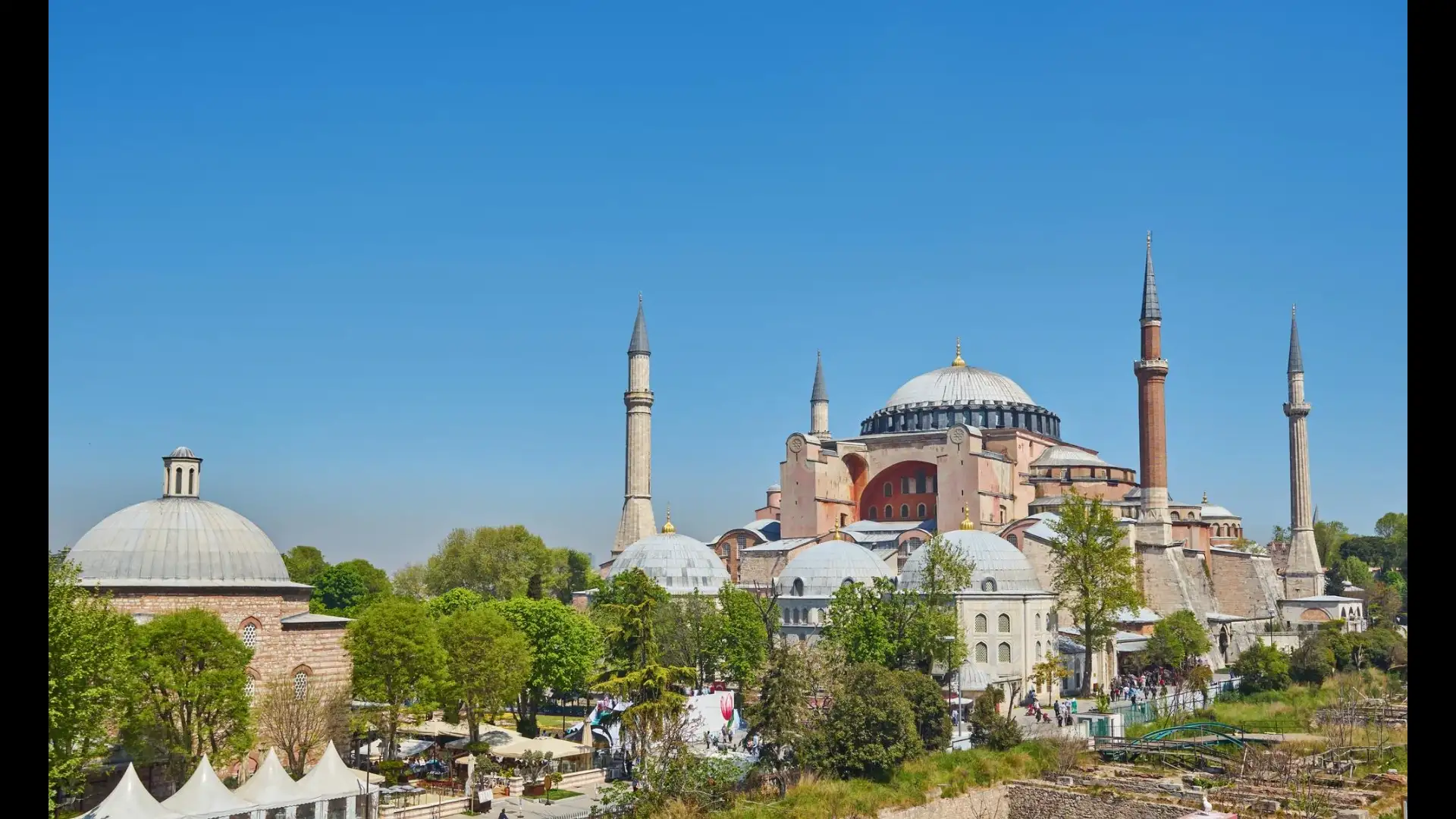
The European side holds the historic core, the old palaces, the Grand Bazaar, the great mosques. The Asian side, called Anatolia or simply 'the Asian side' by locals, is quieter, more residential, and in many neighbourhoods feels like a different city entirely.
The boundary between continents is not a political invention. It follows a geological and geographical convention that geographers have used for centuries: the Bosphorus, the Sea of Marmara, and the Dardanelles together form the natural divide between the European and Asian landmasses. Istanbul is the only major city in the world positioned squarely across this line.
A city here was not just a settlement; it was a toll booth at one of the most valuable crossings on earth.
Greek colonists from Megara founded a settlement on the European tip of the strait around 657 BCE and called it Byzantium. The location was almost absurdly advantageous: a triangular peninsula with water on three sides, naturally defensible, and positioned to tax every ship that passed.
When the Roman Emperor Constantine chose a new capital for his empire in 330 CE, he chose this spot and named it Constantinople. When the Ottoman Sultan Mehmed II took it in 1453, he kept the city and added to it on both sides of the water.
The first fixed crossing came in 1973 with the Bosphorus Bridge, now officially called the 15 July Martyrs Bridge. A second suspension bridge followed in 1988.
A third, the Yavuz Sultan Selim Bridge, opened in the north of the city. The Marmaray rail tunnel, completed in 2013, runs beneath the strait and connects the two sides by metro.
An Istanbullu can now commute from Asia to Europe in minutes, underground, without seeing the water at all, though most who have the choice still prefer the ferry.
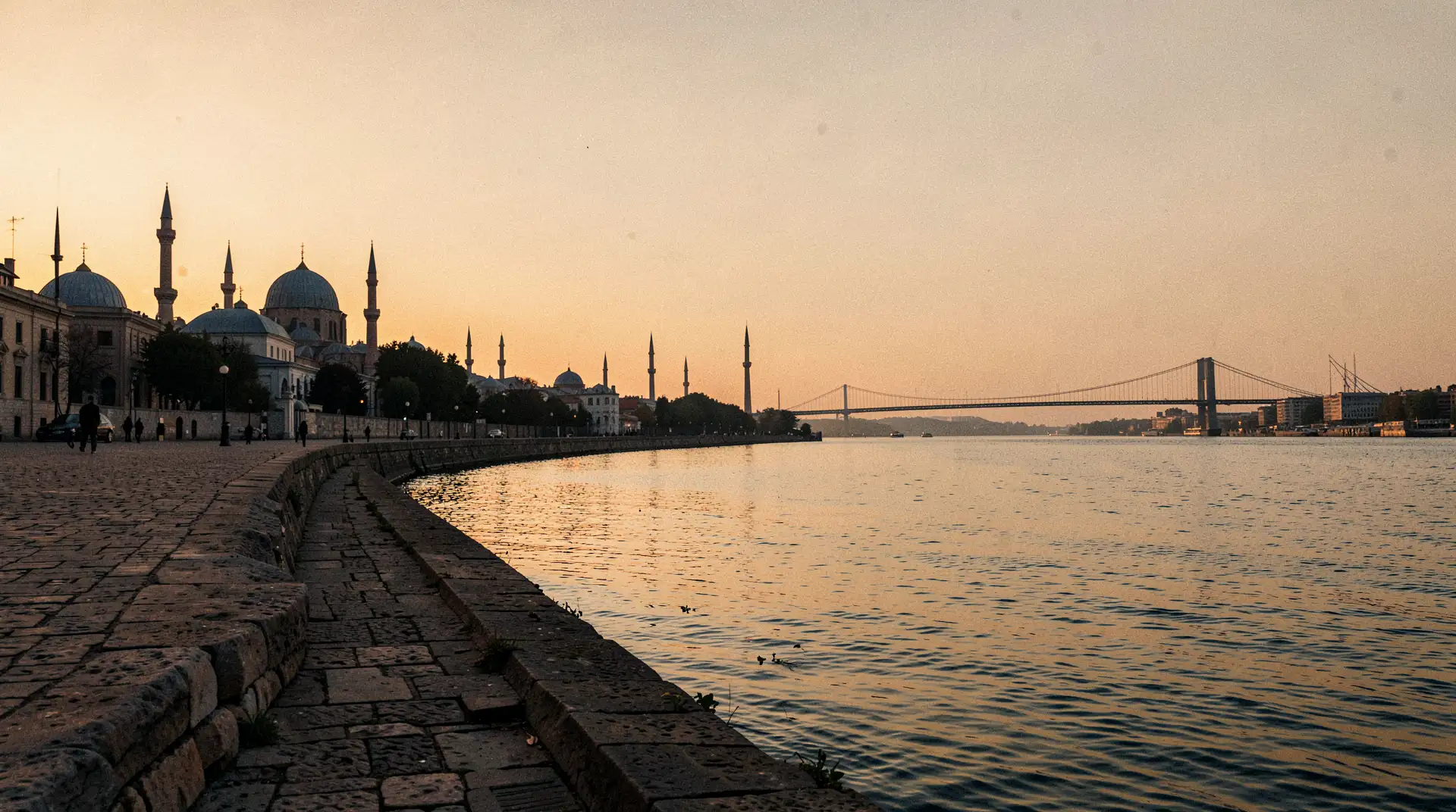
The Asian side, particularly neighbourhoods like Kadıköy and Üsküdar, has its own character: fish markets, neighbourhood tea houses, streets that feel less performed for visitors.
Istanbulites themselves are casual about the crossing in a way that outsiders find remarkable. "I'm going to Europe" means taking the ferry or the metro for twenty minutes. "I'm going to Asia" is the same trip in the other direction. The continental divide is real, but it is also just the commute.
The Bosphorus makes Istanbul something no other city can claim: a place where the same street grid, the same municipality, and the same cup of tea exist on two different continents.
The strait that looks like it should separate the city is, in practice, what holds it together, the reason it was built, the reason it survived, and the reason it remains one of the most consequential pieces of geography on earth.
The Geography Behind the Split
The Bosphorus is a natural strait, formed at the end of the last ice age when rising sea levels connected the Black Sea to the Marmara Sea. It runs for about 30 kilometres through the middle of what is now Istanbul, cutting the city into two unequal halves.The European side holds the historic core, the old palaces, the Grand Bazaar, the great mosques. The Asian side, called Anatolia or simply 'the Asian side' by locals, is quieter, more residential, and in many neighbourhoods feels like a different city entirely.
The boundary between continents is not a political invention. It follows a geological and geographical convention that geographers have used for centuries: the Bosphorus, the Sea of Marmara, and the Dardanelles together form the natural divide between the European and Asian landmasses. Istanbul is the only major city in the world positioned squarely across this line.
Why Humans Settled Here
The strait was not an obstacle, it was the reason people came. Whoever controlled the Bosphorus controlled the movement of ships between the Black Sea and the Mediterranean. Grain, timber, fish, and later oil all passed through this channel.A city here was not just a settlement; it was a toll booth at one of the most valuable crossings on earth.
Greek colonists from Megara founded a settlement on the European tip of the strait around 657 BCE and called it Byzantium. The location was almost absurdly advantageous: a triangular peninsula with water on three sides, naturally defensible, and positioned to tax every ship that passed.
When the Roman Emperor Constantine chose a new capital for his empire in 330 CE, he chose this spot and named it Constantinople. When the Ottoman Sultan Mehmed II took it in 1453, he kept the city and added to it on both sides of the water.
Crossing Between Continents on a Tuesday Morning
For most of Istanbul's history, crossing the Bosphorus meant taking a boat. Ferries have run between the two sides for centuries, and the ferry commute remains one of the city's defining daily rituals, tea in hand, seagulls overhead, the minarets of the old city receding behind you.The first fixed crossing came in 1973 with the Bosphorus Bridge, now officially called the 15 July Martyrs Bridge. A second suspension bridge followed in 1988.
A third, the Yavuz Sultan Selim Bridge, opened in the north of the city. The Marmaray rail tunnel, completed in 2013, runs beneath the strait and connects the two sides by metro.
An Istanbullu can now commute from Asia to Europe in minutes, underground, without seeing the water at all, though most who have the choice still prefer the ferry.
What Two Continents Feel Like on the Ground
The European side carries the weight of history. Sultanahmet, Beyoğlu, the covered markets, the Byzantine walls, this is the Istanbul of postcards and empires.The Asian side, particularly neighbourhoods like Kadıköy and Üsküdar, has its own character: fish markets, neighbourhood tea houses, streets that feel less performed for visitors.
Istanbulites themselves are casual about the crossing in a way that outsiders find remarkable. "I'm going to Europe" means taking the ferry or the metro for twenty minutes. "I'm going to Asia" is the same trip in the other direction. The continental divide is real, but it is also just the commute.
The Bosphorus makes Istanbul something no other city can claim: a place where the same street grid, the same municipality, and the same cup of tea exist on two different continents.
The strait that looks like it should separate the city is, in practice, what holds it together, the reason it was built, the reason it survived, and the reason it remains one of the most consequential pieces of geography on earth.
Next Story