
Why Indonesia Has More Than 17,000 Islands: Secrets Behind the World’s Largest Archipelago

Why Indonesia has more than 17,000 islands is a question that fascinates travellers, geographers, and nature lovers around the world. Spread between the Indian and Pacific Oceans, Indonesia is known as the world’s largest archipelago , featuring thousands of islands formed through millions of years of volcanic activity, shifting tectonic plates, and rising sea levels. From lush rainforests and active volcanoes to stunning beaches and rich marine life, the country’s unique geography makes it one of the most diverse places on Earth.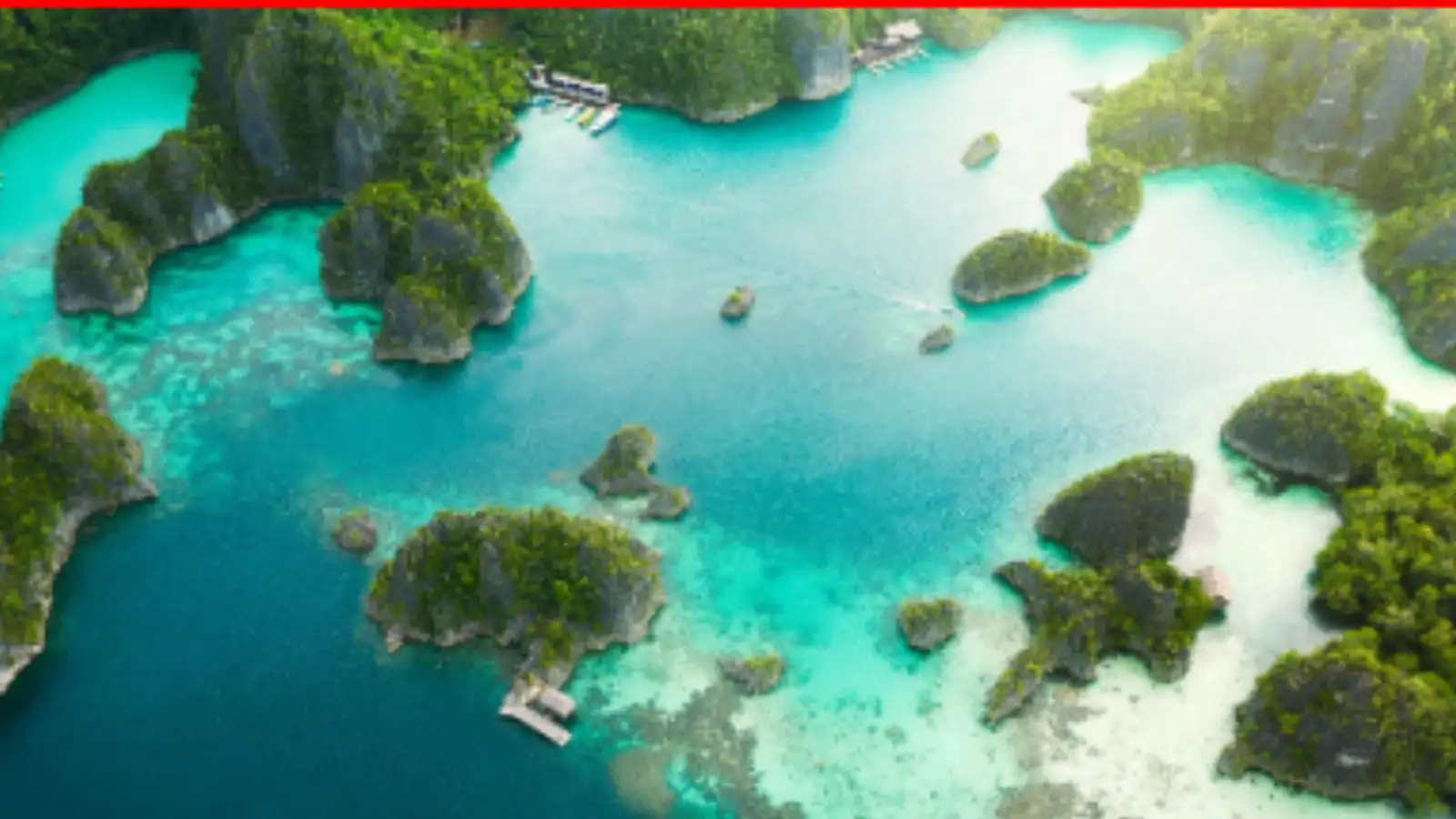
What Makes Indonesia an Archipelago?
Indonesia is officially recognised as the largest archipelagic nation in the world. An archipelago is a group of islands scattered across a large body of water, and Indonesia perfectly fits that description. The country stretches across Southeast Asia and Oceania, connecting Asia with Australia.
Out of the more than 17,000 islands, around 6,000 are inhabited. Major islands such as Java, Sumatra, Bali, Sulawesi, and Borneo are among the most famous, but thousands of smaller islands remain untouched and sparsely populated.
The Geological Reason Behind Indonesia’s Thousands of Islands
The main reason Indonesia has so many islands lies beneath the Earth’s surface. The country sits on the Pacific Ring of Fire , one of the most active volcanic and seismic zones in the world.
Indonesia lies at the meeting point of several major tectonic plates, including:
As these massive plates move and collide, volcanic eruptions and earthquakes occur frequently. Over millions of years, volcanic activity pushed land upward from the ocean floor, creating thousands of islands.
Many Indonesian islands are volcanic in origin, which explains why the country has over 120 active volcanoes today.
How Rising Sea Levels Shaped Indonesia
Another major factor behind Indonesia’s geography is ancient climate change. During the Ice Age, sea levels were much lower than they are today. Large parts of Southeast Asia were connected by land.
As glaciers melted thousands of years ago, sea levels rose and submerged these land bridges. Mountain tops and elevated regions remained above water, eventually becoming islands. This process helped form the scattered island landscape seen in modern-day Indonesia.
Indonesia’s Islands Are Incredibly Diverse
Indonesia’s islands are not all the same. Each region has its own landscapes, cultures, languages, and wildlife.
Some islands are known for:
The Cultural Impact of So Many Islands
Indonesia’s geography has also shaped its culture. Because communities developed separately across thousands of islands, the country became home to extraordinary cultural diversity.
Today, Indonesia has:
Despite this diversity, the nation remains united under the motto “Bhinneka Tunggal Ika,” which means “Unity in Diversity.”
Challenges of Managing a Country With 17,000 Islands
While Indonesia’s geography is stunning, it also creates major challenges. Connecting thousands of islands requires extensive transportation systems, shipping routes, airports, and communication networks.
The government must also manage:
Yet these islands also provide enormous economic opportunities through tourism, fisheries, trade, and natural resources.
Why Indonesia’s Geography Continues to Fascinate the World
Indonesia’s 17,000-plus islands are a result of powerful natural forces that shaped the Earth over millions of years. Its volcanoes, oceans, tectonic movements, and ancient climate changes created a nation unlike any other.
Today, Indonesia stands as one of the most geographically and culturally diverse countries in the world, offering breathtaking landscapes and a rich history spread across thousands of islands.
What Makes Indonesia an Archipelago?
Indonesia is officially recognised as the largest archipelagic nation in the world. An archipelago is a group of islands scattered across a large body of water, and Indonesia perfectly fits that description. The country stretches across Southeast Asia and Oceania, connecting Asia with Australia.
Out of the more than 17,000 islands, around 6,000 are inhabited. Major islands such as Java, Sumatra, Bali, Sulawesi, and Borneo are among the most famous, but thousands of smaller islands remain untouched and sparsely populated.
The Geological Reason Behind Indonesia’s Thousands of Islands
The main reason Indonesia has so many islands lies beneath the Earth’s surface. The country sits on the Pacific Ring of Fire , one of the most active volcanic and seismic zones in the world.
Indonesia lies at the meeting point of several major tectonic plates, including:
- The Eurasian Plate
- The Indo-Australian Plate
- The Pacific Plate
As these massive plates move and collide, volcanic eruptions and earthquakes occur frequently. Over millions of years, volcanic activity pushed land upward from the ocean floor, creating thousands of islands.
Many Indonesian islands are volcanic in origin, which explains why the country has over 120 active volcanoes today.
How Rising Sea Levels Shaped Indonesia
Another major factor behind Indonesia’s geography is ancient climate change. During the Ice Age, sea levels were much lower than they are today. Large parts of Southeast Asia were connected by land.
As glaciers melted thousands of years ago, sea levels rose and submerged these land bridges. Mountain tops and elevated regions remained above water, eventually becoming islands. This process helped form the scattered island landscape seen in modern-day Indonesia.
Indonesia’s Islands Are Incredibly Diverse
Indonesia’s islands are not all the same. Each region has its own landscapes, cultures, languages, and wildlife.
Some islands are known for:
Volcanoes and Mountains
Java and Sumatra feature towering volcanoes and fertile lands created by volcanic soil.Tropical Beaches
Bali, Lombok, and the Gili Islands attract tourists with white sand beaches and crystal-clear waters.Rainforests and Wildlife
Borneo and Papua are home to dense rainforests filled with rare species like orangutans and birds of paradise.Coral Reefs and Marine Life
Indonesia sits within the Coral Triangle, making it one of the richest marine ecosystems on Earth.The Cultural Impact of So Many Islands
Indonesia’s geography has also shaped its culture. Because communities developed separately across thousands of islands, the country became home to extraordinary cultural diversity.
Today, Indonesia has:
- More than 700 local languages
- Hundreds of ethnic groups
- Unique traditions and cuisines across regions
Despite this diversity, the nation remains united under the motto “Bhinneka Tunggal Ika,” which means “Unity in Diversity.”
Challenges of Managing a Country With 17,000 Islands
While Indonesia’s geography is stunning, it also creates major challenges. Connecting thousands of islands requires extensive transportation systems, shipping routes, airports, and communication networks.
The government must also manage:
- Disaster preparedness for earthquakes and volcanoes
- Environmental protection
- Marine conservation
- Infrastructure development across remote regions
Yet these islands also provide enormous economic opportunities through tourism, fisheries, trade, and natural resources.
Why Indonesia’s Geography Continues to Fascinate the World
Indonesia’s 17,000-plus islands are a result of powerful natural forces that shaped the Earth over millions of years. Its volcanoes, oceans, tectonic movements, and ancient climate changes created a nation unlike any other.
Today, Indonesia stands as one of the most geographically and culturally diverse countries in the world, offering breathtaking landscapes and a rich history spread across thousands of islands.
Next Story