Google Maps vs Mappls: 3 Unique Features That Make Mappls Better in India

Driving in India is a unique challenge. Narrow streets, jam-packed lanes, and unpredictable traffic make navigation stressful for many. For years, Google Maps has been the default navigation app for millions of users in India. Its extensive database, real-time traffic updates , and user-friendly interface have made it the go-to choice. However, growing concerns about privacy and the need for India-specific solutions have led users to explore alternatives. One such homegrown option is Mappls , an app designed specifically to cater to the unique needs of Indian drivers.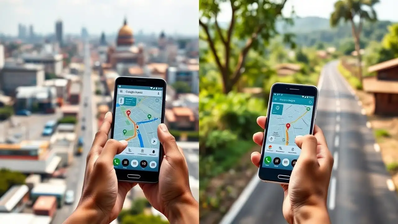
Navigation Capabilities: Google Maps vs Mappls
Both Google Maps and Mappls offer real-time traffic updates and turn-by-turn directions. Google Maps has an advantage because of its vast user base, which helps in generating more accurate traffic data. It also boasts a massive database of businesses, restaurants, and public places, making it easier for users to locate nearby services. However, Mappls offers features that go beyond standard navigation. For example, it allows users to calculate estimated trip costs for petrol, diesel, CNG, and electric vehicles—a feature particularly useful for cost-conscious drivers.
Mappls Pins: Solving India’s Address Problem
One of the biggest challenges of driving in India is the address system. While major offices and commercial buildings are easy to locate, many residences and smaller establishments do not have formal addresses. Multiple languages and dialects further complicate navigation. Google Maps has attempted to solve this by supporting local languages, but sometimes users still struggle to find precise addresses. Mappls addresses this problem through its Pin feature. According to the company, Pins allow any location to be converted into a simple, easy-to-remember code that is "precise down to the doorstep." This can make it far easier to share exact locations compared to traditional Google Maps addresses, which may occasionally be inaccurate.
3D Navigation and Complex Junctions
While Google Maps excels at traffic tracking, it often leaves users uncertain about complex road structures like flyovers and multi-level junctions. Mappls provides a 3D view of such locations, marking entry and exit points clearly. This feature helps drivers avoid wrong turns and confusion, especially in cities with intricate road networks. By showing a visual representation of complicated flyovers and junctions, Mappls gives drivers more confidence while navigating unfamiliar routes.
Enhanced Road Alerts for Safer Driving
Both Google Maps and Mappls alert users about accidents, road closures, and construction work. However, Mappls goes further by including information about speed breakers, potholes, and speed cameras—common features on Indian roads that can impact driving safety. These alerts allow drivers to adjust their routes and drive more carefully, making Mappls not only a navigation tool but also a safety companion on Indian roads.
Google Maps remains a reliable choice due to its extensive database and superior traffic tracking. However, for Indian users seeking localized features, precise address sharing, and enhanced navigation through complex routes, Mappls offers significant advantages. With its Pin system, 3D views of junctions, and detailed road alerts, Mappls is emerging as a strong competitor to global navigation apps. For drivers navigating India’s unique roads, Mappls provides solutions that are tailored to the country’s specific challenges, making it a viable alternative to Google Maps.
Navigation Capabilities: Google Maps vs Mappls
Both Google Maps and Mappls offer real-time traffic updates and turn-by-turn directions. Google Maps has an advantage because of its vast user base, which helps in generating more accurate traffic data. It also boasts a massive database of businesses, restaurants, and public places, making it easier for users to locate nearby services. However, Mappls offers features that go beyond standard navigation. For example, it allows users to calculate estimated trip costs for petrol, diesel, CNG, and electric vehicles—a feature particularly useful for cost-conscious drivers.
Mappls Pins: Solving India’s Address Problem
One of the biggest challenges of driving in India is the address system. While major offices and commercial buildings are easy to locate, many residences and smaller establishments do not have formal addresses. Multiple languages and dialects further complicate navigation. Google Maps has attempted to solve this by supporting local languages, but sometimes users still struggle to find precise addresses. Mappls addresses this problem through its Pin feature. According to the company, Pins allow any location to be converted into a simple, easy-to-remember code that is "precise down to the doorstep." This can make it far easier to share exact locations compared to traditional Google Maps addresses, which may occasionally be inaccurate.
You may also like
- Skyroot's energy reflects vibrant spirit of India's space ecosystem: PM Modi
- Chip that can give sight to the blind: Former president of Elon Musk's Neuralink invents only treatment that restores human vision and takes it to Europe
- Diablo 4 update 3.1.2 release date, time and patch notes as Blizzard makes sweeping fixes
- ChatGPT outage: Users report issues in generating AI photos, company says 'sorry'
- Bank of Baroda confirms data breach: employee email account hacked, bank says core banking systems untouched
3D Navigation and Complex Junctions
While Google Maps excels at traffic tracking, it often leaves users uncertain about complex road structures like flyovers and multi-level junctions. Mappls provides a 3D view of such locations, marking entry and exit points clearly. This feature helps drivers avoid wrong turns and confusion, especially in cities with intricate road networks. By showing a visual representation of complicated flyovers and junctions, Mappls gives drivers more confidence while navigating unfamiliar routes.
Enhanced Road Alerts for Safer Driving
Both Google Maps and Mappls alert users about accidents, road closures, and construction work. However, Mappls goes further by including information about speed breakers, potholes, and speed cameras—common features on Indian roads that can impact driving safety. These alerts allow drivers to adjust their routes and drive more carefully, making Mappls not only a navigation tool but also a safety companion on Indian roads.
Google Maps remains a reliable choice due to its extensive database and superior traffic tracking. However, for Indian users seeking localized features, precise address sharing, and enhanced navigation through complex routes, Mappls offers significant advantages. With its Pin system, 3D views of junctions, and detailed road alerts, Mappls is emerging as a strong competitor to global navigation apps. For drivers navigating India’s unique roads, Mappls provides solutions that are tailored to the country’s specific challenges, making it a viable alternative to Google Maps.






Loving Newspoint? Download the app now